Mapping the Great Lakes: Who is looking out for the Great Lakes?
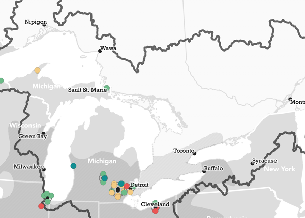
Nine academic initiatives — seven of which are located in Ann Arbor, Michigan — are focused on environmental concerns in the Great Lakes from invasive species to mapping the lakebeds.
Mapping the Great Lakes: Summertime fishing
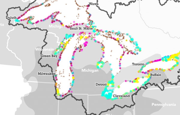
Summer is the best time to fish the Great Lakes, although some might argue for the joy of ice fishing.
Mapping the Great Lakes: Freighters!
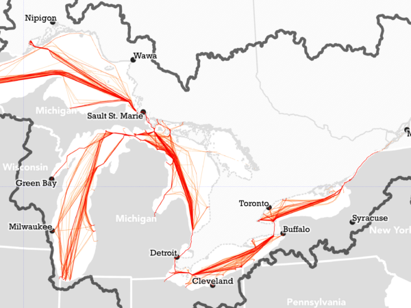
The Great Lakes are the largest group of freshwater lakes on Earth by total area, and they are also some of the busiest inland waterways in the world.
Mapping the Great Lakes: Flood risk
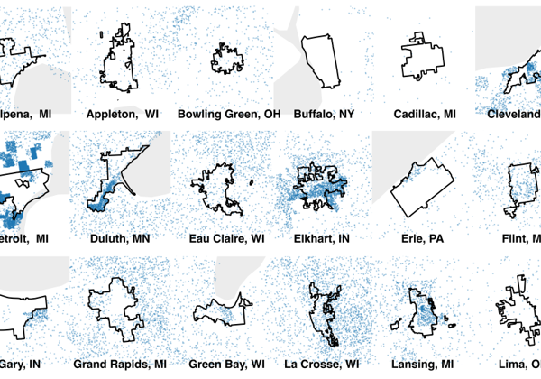
The highest predicted climate risk for the Great Lakes region is from heavy rainfall and subsequent flooding, which many cities have seen in recent years.
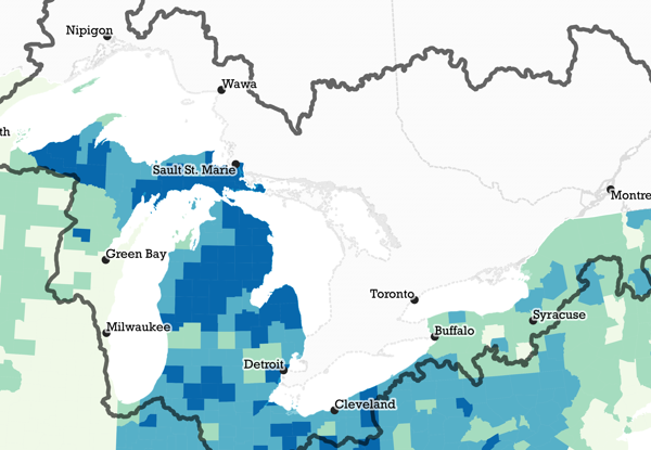
Mapping the Great Lakes: Mental health and ‘blue spaces’
The Great Lakes offer abundant opportunities to visit “blue spaces” that help lower stress and improve overall mental health.
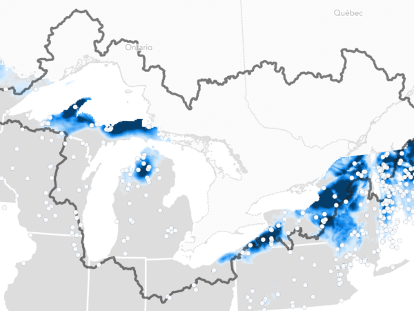
Mapping the Great Lakes: Snowfall in the snowbelt
Another environmental oddity of the Great Lakes region is the existence of snowbelts or large areas impacted by lake effect snow.
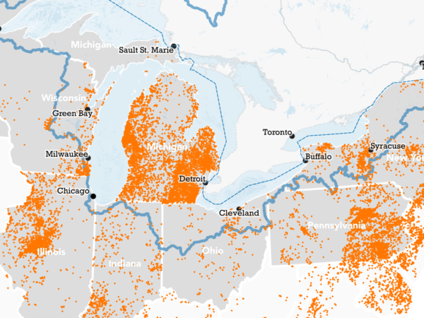
Mapping the Great Lakes: Pumpkin production
The majority of pumpkin acres in Illinois are devoted to varieties that get turned into pie filling or other food products. By comparison, just 3% of pumpkin acres in Michigan are devoted to production.
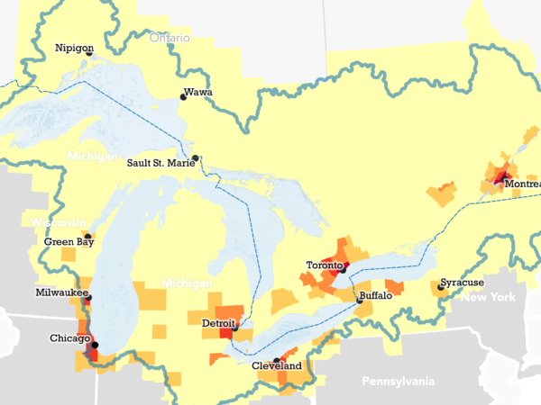
Mapping the Great Lakes: Where do you live?
Thirty million people live within the Great Lakes Watershed, which make up roughly 10% of the US population and 30% of the Canadian population.
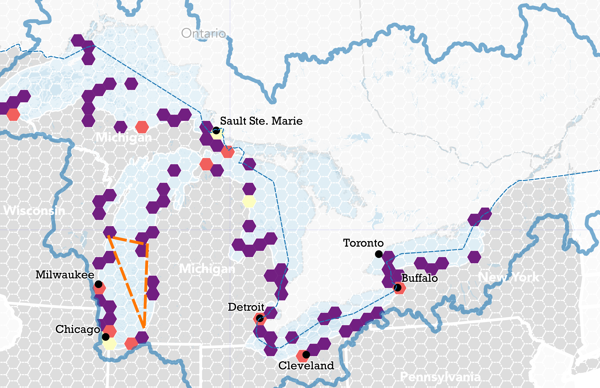
Mapping the Great Lakes: Underwater discoveries await
Hundreds of shipwrecks have been mapped out but researchers believe more are out there.
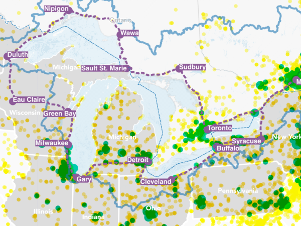
Mapping the Great Lakes: Can you do an EV road trip around the five lakes?
Are there enough charging stations to drive your electric vehicle to the most scenic places in the Great Lakes? Our mapping expert answers that question.
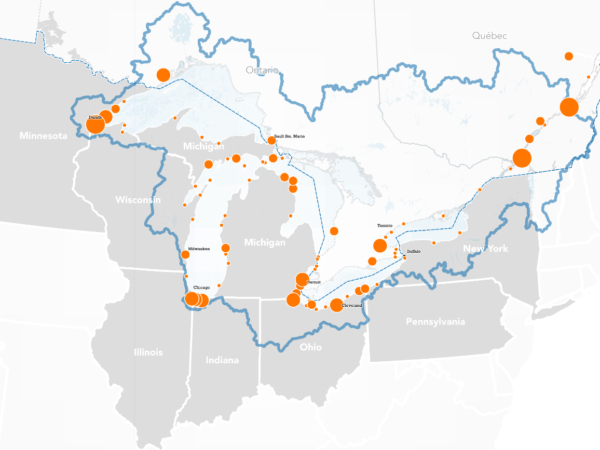
Mapping the Great Lakes: Carrying cargo
There are billions of dollars and hundreds of thousands of jobs in Great Lakes shipping.
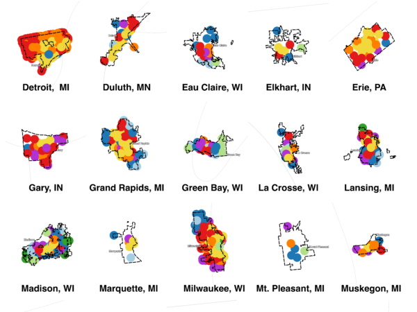
Mapping the Great Lakes: How old are our cities?
Aging housing is prevalent all around the region, but in some cities the old infrastructure lingers more than in others.
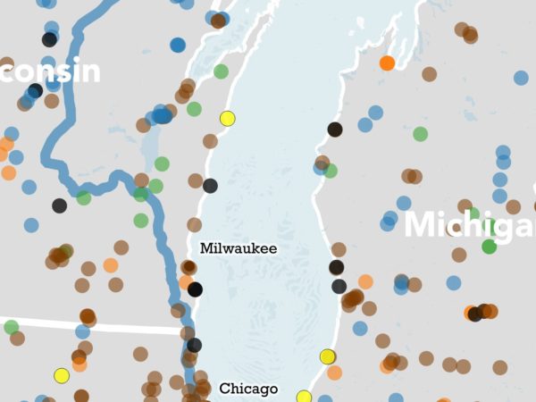
Mapping the Great Lakes: Power up
Around the region, you can find power plants for hydro, solar, wind, coal and more. In this map, see where those plants stand.


