

Love staring at a map and discovering something interesting? Then “Mapping the Great Lakes” is for you. It’s a monthly Great Lakes Now feature created by Alex B. Hill, a self-described “data nerd and anthropologist” who combines cartography, data, and analytics with storytelling and human experience. He’s the founder of DETROITography and authored “Detroit in 50 Maps,” a book published in 2021. Find all his Great Lakes Now work HERE.
There are six states in the U.S. that produce the most pumpkins.
Half of the top producing states are in the Great Lakes region. Illinois leads with 80% of pumpkin acres harvested for production. The majority of pumpkin acres in Illinois are devoted to varieties that get turned into pie filling or other food products. By comparison, just 3% of pumpkin acres in Michigan are devoted to production. Overall, just 40% of all pumpkin acres are harvested.
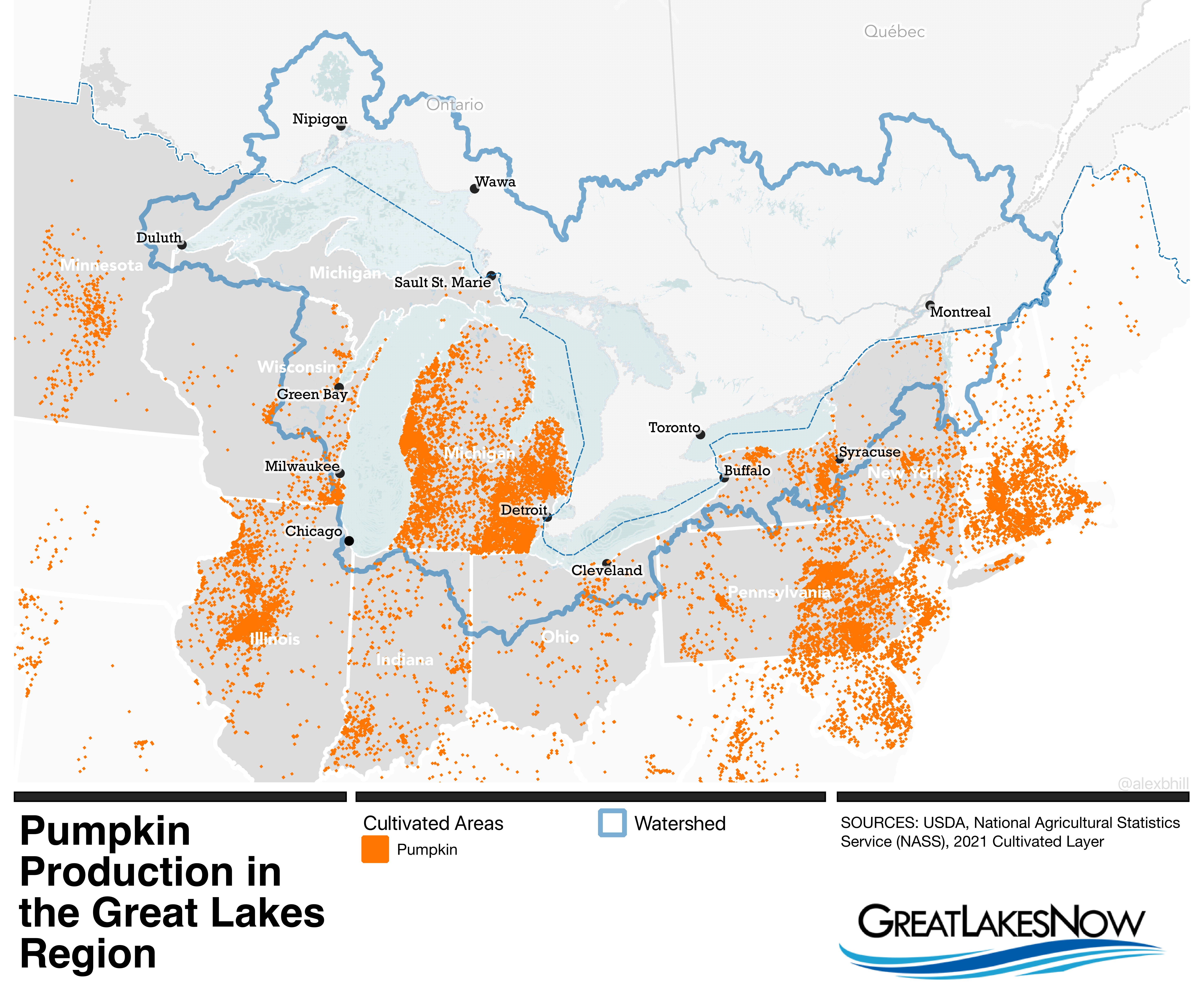
In this map of cultivated acres for pumpkins, there is a clear emphasis on pumpkin growing in Michigan even when hardly any of those pumpkins make it into production. Outside of the Great Lakes Watershed there are heavy pumpkin growing operations in central Illinois and eastern Pennsylvania. If you enjoyed a pumpkin pie for Thanksgiving, it was likely sourced from Illinois which harvests twice as many pumpkins as the other top producing states.
The data used in this map comes from the U.S. Department of Agriculture’s annual Cropland Data Layer which is sourced from satellite imagery to examine agricultural land cover and estimate crop acreage for 85 different crop categories, including pumpkins.
Catch more news at Great Lakes Now:
Mapping the Great Lakes: Where do you live?
Mapping the Great Lakes: Underwater discoveries await
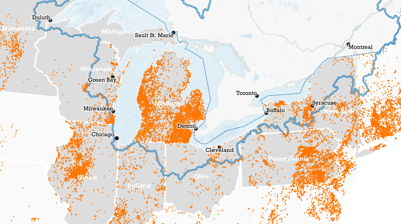
Featured image: Map by Alex B. Hill
