
By Steve Carmody, Michigan Radio
The Great Lakes News Collaborative includes Bridge Michigan; Circle of Blue; Great Lakes Now at Detroit Public Television; and Michigan Radio, Michigan’s NPR News Leader; who work together to bring audiences news and information about the impact of climate change, pollution, and aging infrastructure on the Great Lakes and drinking water. This independent journalism is supported by the Charles Stewart Mott Foundation. Find all the work HERE.
President Donald Trump has signed legislation to update maps of environmentally sensitive areas of the Great Lakes.
The legislation prioritizes and updates federal maps used to respond to emergencies and protect habitats, species and structures along the Great Lakes that are most likely to be impacted by a potential oil spill or other major disaster.
The last time some of these maps were updated was back in the late 1980s and early 1990s.
“The Great Lakes generate billions of dollars in economic activity and provide drinking water for over 40 million people,” says Rep. Dan Kildee (D-Flint). “We must protect our Great Lakes from harm.”
The Congressional Budget Office estimates it will take about three years to initially update all the maps.
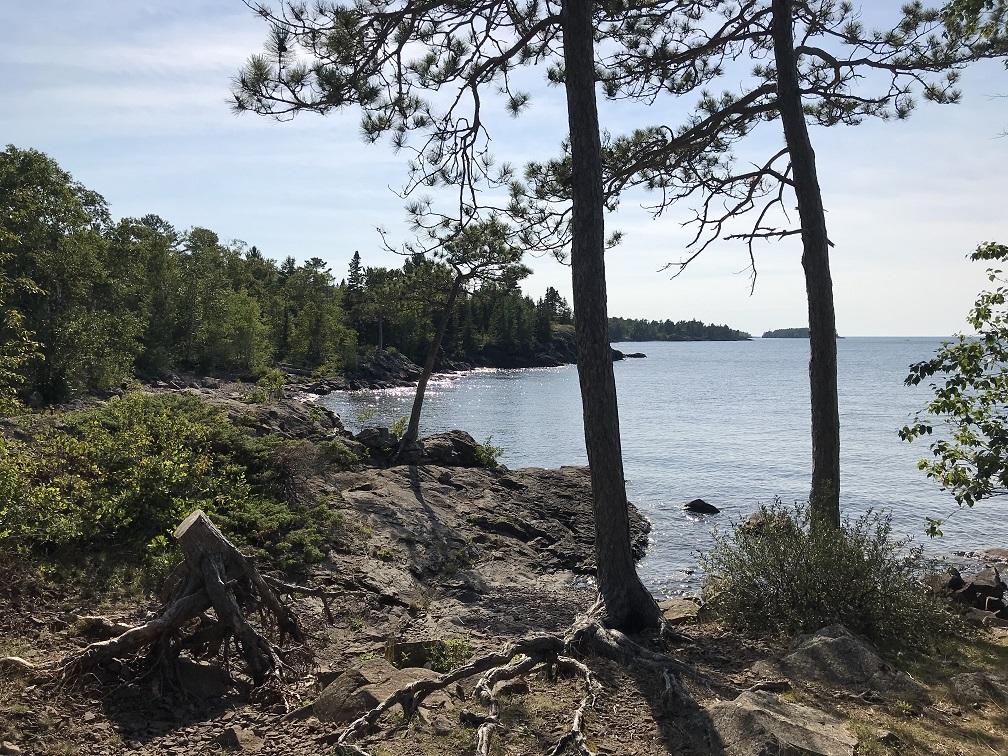
Featured image: A view of Lake Superior (Photo Credit: Steve Carmody)