
New research into Great Lakes water levels looks farther into the future to predict how much climate change will increase lake levels in four of the five Great Lakes.
The predictions for the levels between now and 2050 show average increases from 2010-2019 levels of Lake Superior rising 19 centimeters (7.5 inches), Lake Erie 28 centimeters (11 inches) and lakes Michigan and Huron by 44 centimeters (17.3 inches). Lake Ontario wasn’t included because the outflow from the lake is regulated and at the time, the model used did not incorporate the regulation plans of Lake Ontario.
These forecasts are a big departure from others, many of which only extend less than a year. The U.S. Army Corps of Engineers, for example, puts out a six-month forecast bulletin every month based on current conditions and anticipated future weather.
The reason these new projections can go out so far and so confidently is the advanced modeling used in the study, applied for the first time to the Great Lakes.
Presented at the Frontiers in Hydrology Meeting on Thursday and awaiting publication, the research – led by Michigan Technological University associate professor Pengfei Xue – used advanced climate modeling with a 3D hydrodynamic model to simulate the lakes more accurately. The modeling Xue used is more typically applied to oceans.

“We were able to develop a coupled modeling system that not only accounts for the interactions between the lakes, atmosphere and surrounding land, but also presented a more realistic and accurate representation of the Great Lakes hydrodynamic processes in climate modeling,” Xue said. “This is a necessary step to ultimately improve the long-term lake level projections.”
Great Lakes residents already struggles with erosion and flooding – common impacts of high water levels – especially after the record-high water levels in 2019 and 2020. And even though water levels are no longer at record-highs, erosion and flooding remain huge problems.
“Climate-driven change to Great Lakes water levels is a prospect we take seriously,” Jeff Johnson, a public information officer with Michigan’s Department of Environment, Great Lakes, and Energy, said in an email. “It’s one reason to work toward a carbon-neutral Michigan by 2050 through the MI Healthy Climate Plan… I’m confident we will be proactive and responsive to challenges if these predicted high water levels come to pass.”
Johnston also referenced the action EGLE took to expedite shoreline protection permit applications in 2020 when property owners were struggling with high water.
And even before that, around the lakes, cities like Duluth struggled with the combination of extreme weather and high water levels.
“The storms that caused huge amounts of infrastructure damage in Duluth back in 2017-2018 were not, by historical standards, particularly huge storms; what made them so damaging was that they occurred when lake levels were at a high stand,” said Jay Austin, professor with the University of Minnesota Duluth. “We can expect to see more of that sort of impact on infrastructure going forward.”
Austin’s work also looks at how climate change is impacting the Great Lakes, though his research is focused on ice and water temperature.
When it comes to the heavy impacts of climate change, modeling can give people a chance to prepare.
“We can’t do an experiment to see how the lake is going to respond to higher air temperatures or lower or higher precipitation or anything like that,” Austin said. “We don’t have that sort of control over nature. And so, what we can do is take predictions of how the climate is changing over time, then use models like Dr. Xue did and say here’s what lake levels are going to do.”

To ensure accuracy, Xue and his team first tested the modeling to see if it could successfully reproduce present-day climates before applying it to future outlooks.
“I sort of expect there will be an increase in water level considering the information and knowledge I have gained, but this study gave us more details on what is likely to happen and why under a high-end greenhouse gas emissions scenario,” Xue said. “I’m not going to say it’s going to happen, because it is just one of the projections, one of the possible scenarios.”
These findings are just one aspect of what Xue is looking into and how they affect the lakes. He’s applying the model to understand and project the changes in lake thermal structure, ice, circulation and waves, and their impact on coastal hazards and lake biophysical processes, to better understand the lake system and how these factors may influence each other.
Even so, uncertainties can arise from sources such as greenhouse has emission scenarios, model lateral forcing conditions and model deficiencies.
Predictions for the Lake Michigan-Huron system ranged from as low as 16 centimeters (6.3 inches) to as high as 86 centimeters (33.9 inches). Lake Superior ranged from 10 (3.9 inches) to 38 centimeters (15 inches) and Lake Erie from 5 (2 inches) to 51 centimeters (20.1 inches).
Catch more news at Great Lakes Now:
Does extreme weather threaten the hazardous waste sites that border Lake Michigan?
Global warming may impact Great Lakes beaches
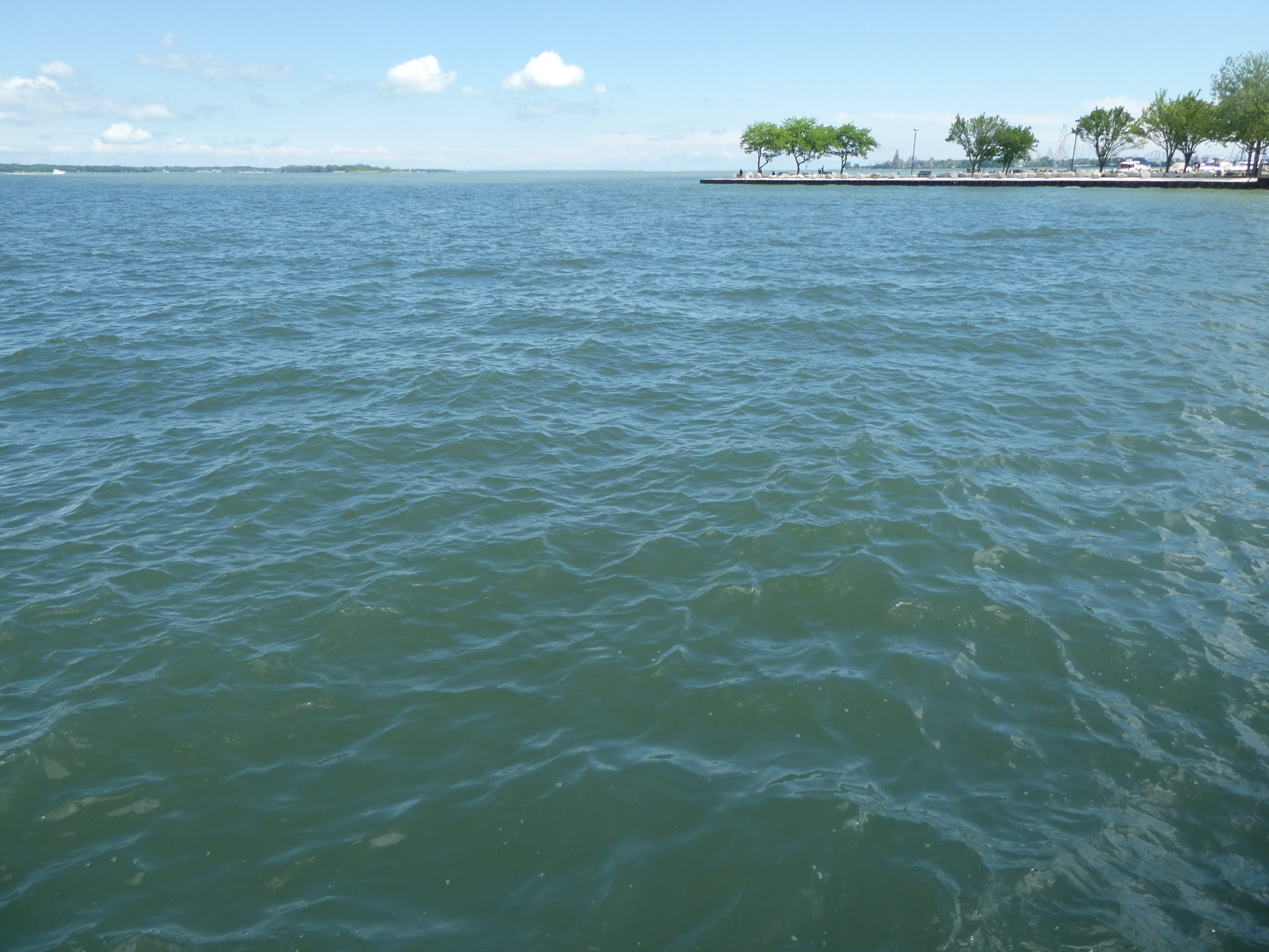
Featured image: Great Lakes residents already struggle with high water levels. Researchers say we can expect more in the next few decades. (Photo Credit: Natasha Blakely/Great Lakes Now)
