
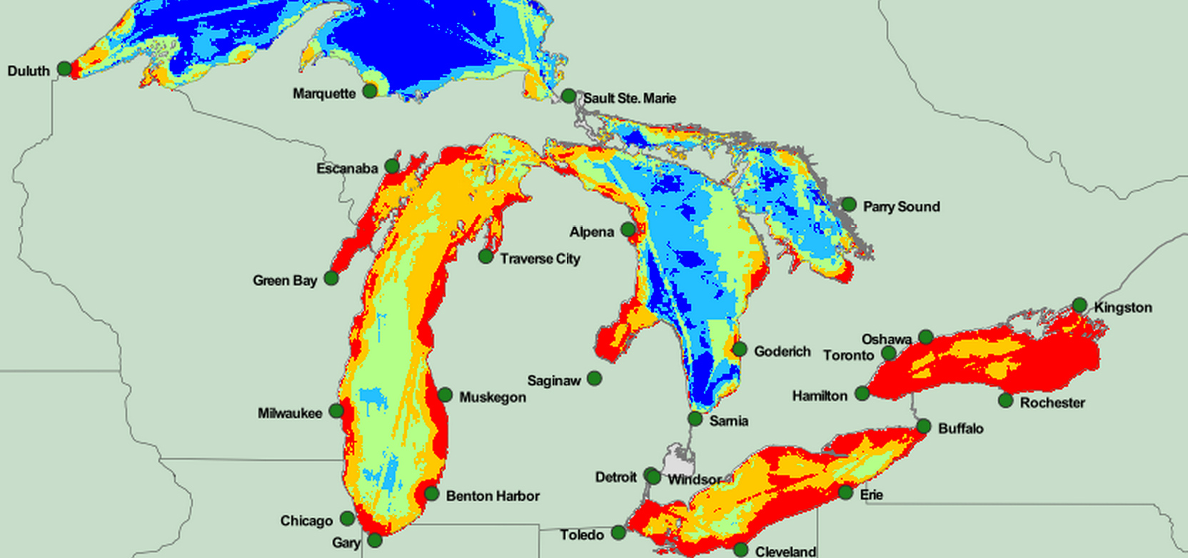

Researchers at the University of Michigan have compiled maps of all five Great Lakes spotlighting key areas for sport fishing, recreational boating, birding, beach use, and park visits.
Those recreational uses are then combined with maps that show the areas threatened by one or more of 34 identified environmental stressors. The study, published in Frontiers in Ecology and the Environment, are designed to help decision-makers recognize restoration priorities in the Lakes.
See the maps at greatlakesmapping.org.
