
EAST LANSING, Mich. (AP) — Researchers at Michigan State University are collecting data on how Great Lakes shoreline, including how residents view coastlines and the impact of high water levels.
Assistant professor Erin Bunting said the goal is to empower local communities, which is important to the future of the lakeshores and future research.
The results will be published online and analyzed in scientific publications.
The project is funded by the National Science Foundation and involves collecting information in several ways including a drone program and a mobile app. Bunting said more than 1,200 images have been submitted since June.
Drone pilots were trained in half a dozen Michigan communities where the shoreline is vulnerable to impacts from water levels.
Catch more news on Great Lakes Now:
UM researchers think tech could help cities better manage stormwater
‘The water always wins’: Calls to protect shorelines as volatile Lake Michigan inflicts heavy toll
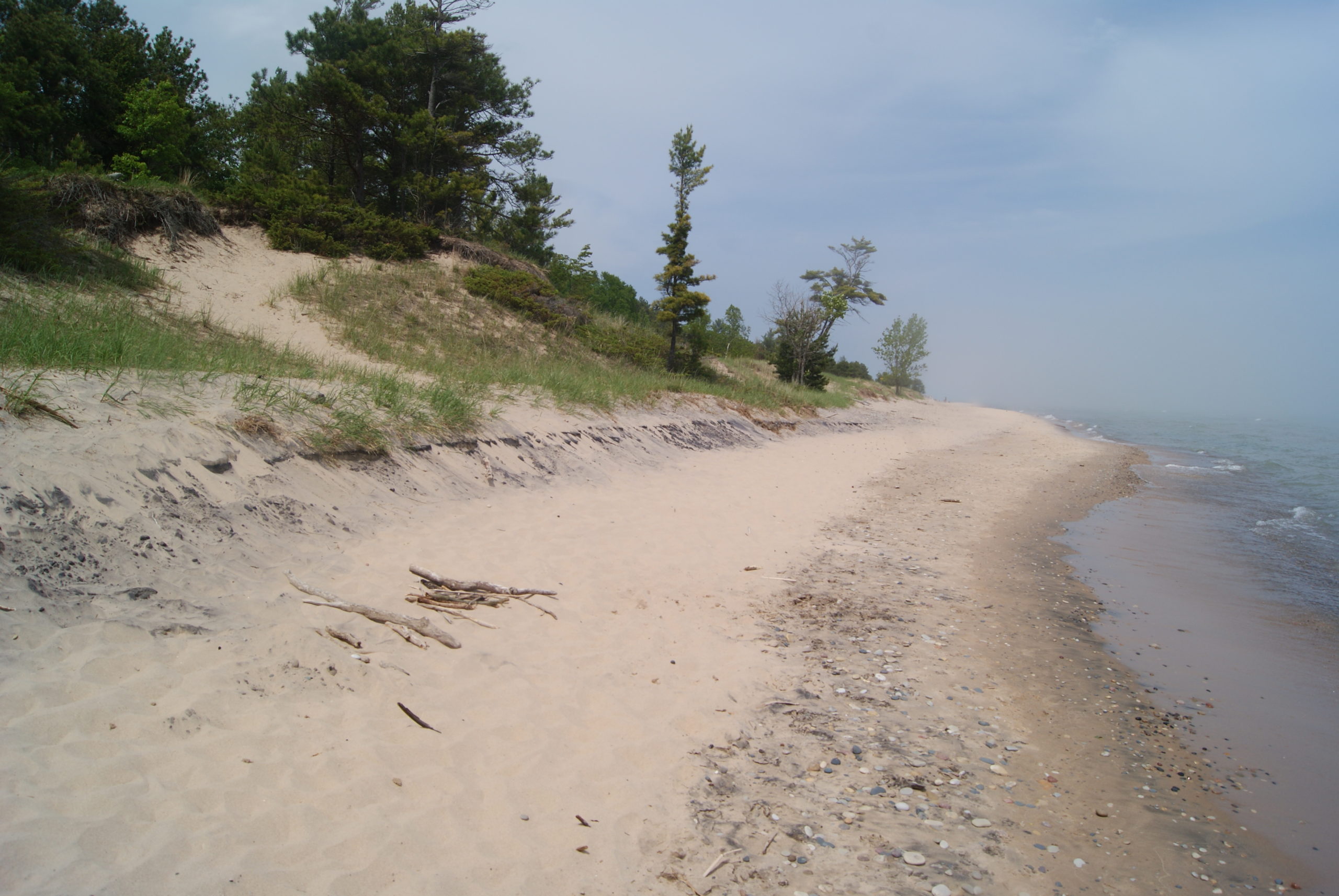
Featured image: The aftermath of high tides can be seen along Lake Michigan’s shoreline at Kohler-Andre State Park. Recent years have had record-breaking water levels across the Great Lakes region. (Photo Credit: John McCracken)
