
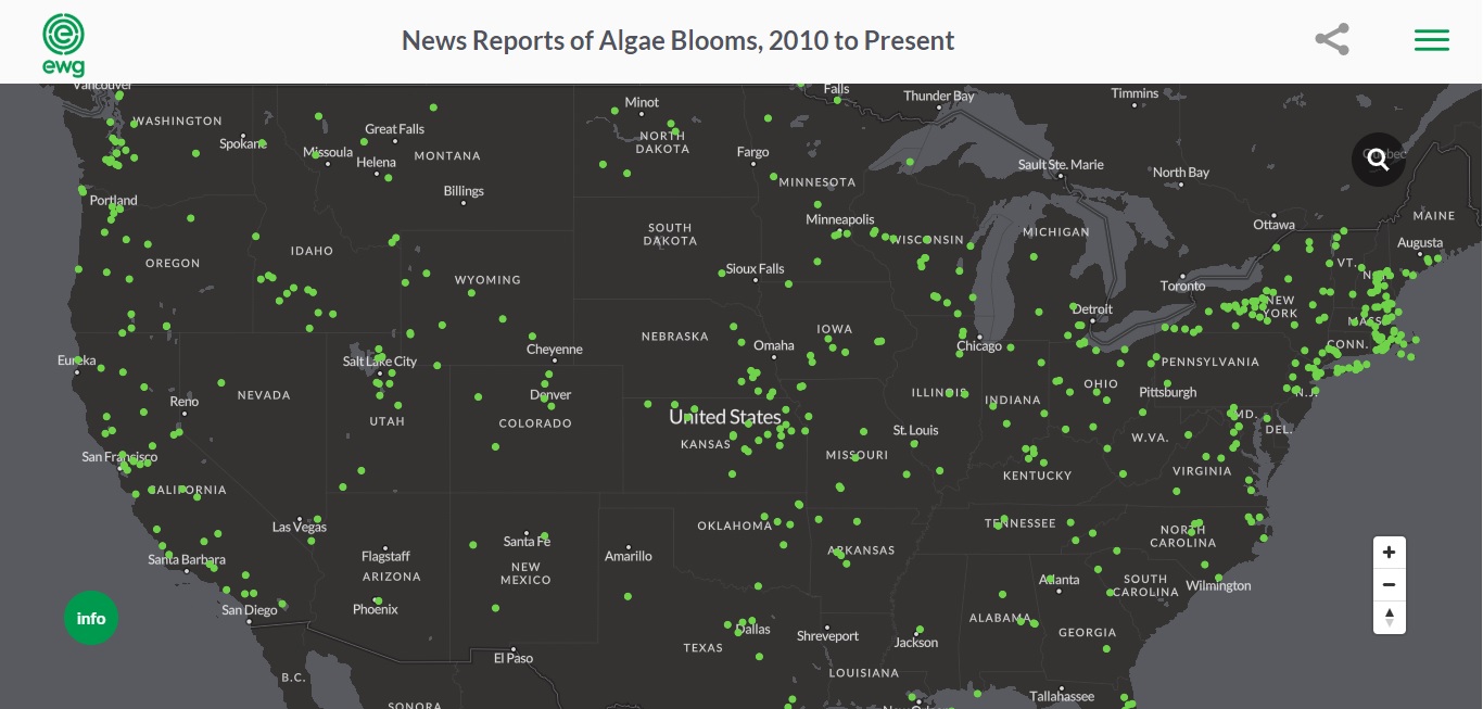
The nonprofit organization Environmental Working Group today released a map that tracks all toxic algae outbreaks reported in the U.S. from 2010 until the present.
“No federal agency publicly tracks algae blooms, so we are trying to fill the gap,” said Anne Weir Schechinger, EWG senior economic analyst, in a press release. “It’s imperative that the public understand the threat and what they can do about it.”
View the map HERE.
Toxic algae blooms can cause nausea, vomiting, diarrhea and liver damage with just short-term exposure and possibilities of liver failure and cancer with long-term exposure.
EWG created the map based on news reports of algae outbreaks. From the data compiled, the organization found 550 algae blooms reported in waterways across 47 states between 2010 and May 2019.
Slightly under half of those outbreaks—256—happened in 2018 alone, a sharp increase from the 166 in 2017. It’s an even bigger increase from 2010, where just three outbreaks were reported.
The map will be updated weekly.
“Algae blooms are spreading at an alarming rate, and we expect 2019 to be no exception to this trend,” Schechinger stated in the release. “It’s likely that outbreaks will occur across the U.S. – some with significant negative repercussions for local economies, recreation and even tap water.”
More information on EWG’s work on toxic algae can be found at their website, including tips on avoiding toxic algae bloom poisoning and satellite photos of algae blooms.
Read Great Lakes Now’s article on animal farms as a possible growing contributor to Lake Erie’s toxic algae problem: Animal Culprit: Study Points to Animal Farms as Growing Contributors to Lake Erie Algae.
