
By Elaine Anselmi, The Narwhal
Photography by Carlos Osorio
The Great Lakes News Collaborative includes Bridge Michigan, Circle of Blue, Great Lakes Now, Michigan Public and The Narwhal who work together to bring audiences news and information about the impact of climate change, pollution, and aging infrastructure on the Great Lakes and drinking water. This independent journalism is supported by the Charles Stewart Mott Foundation.
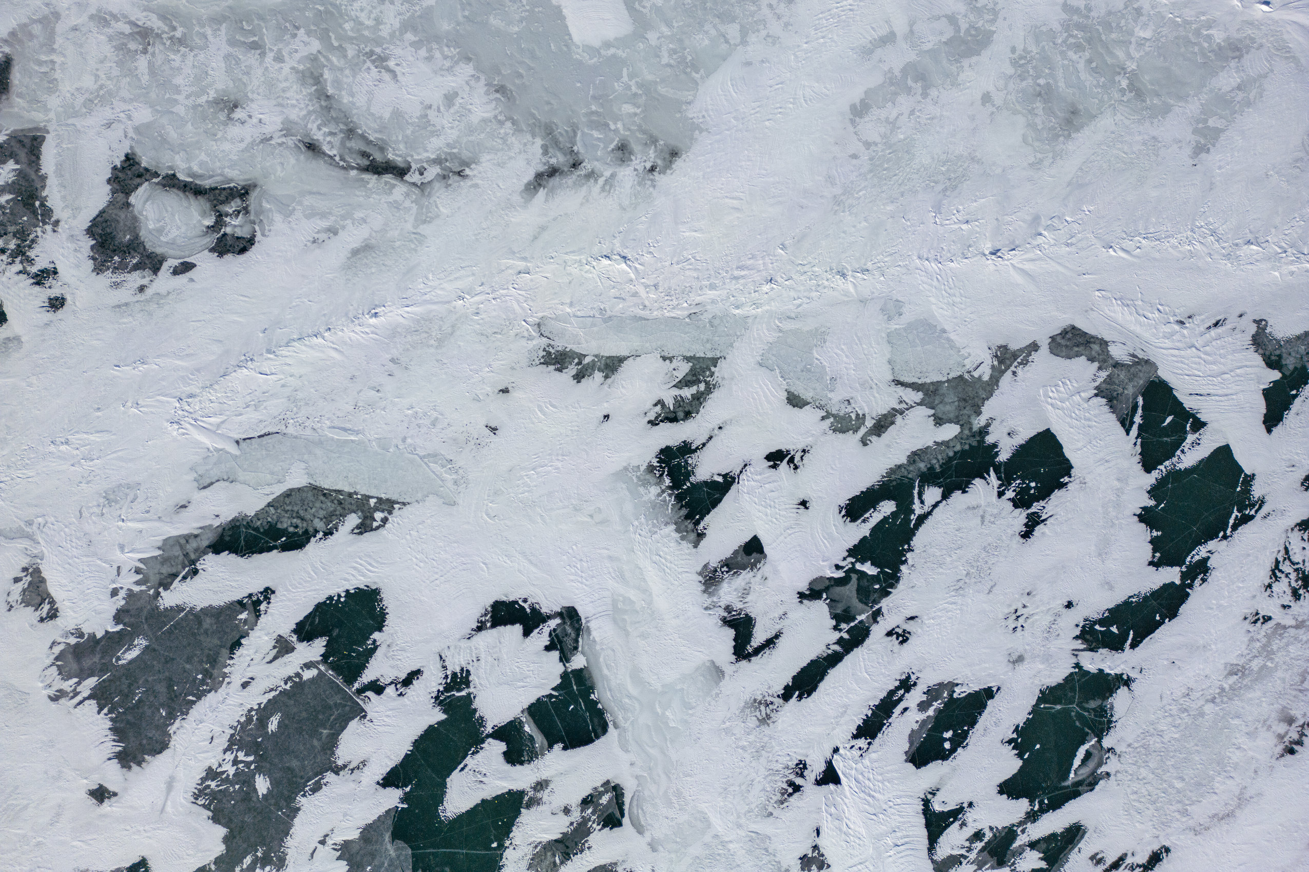
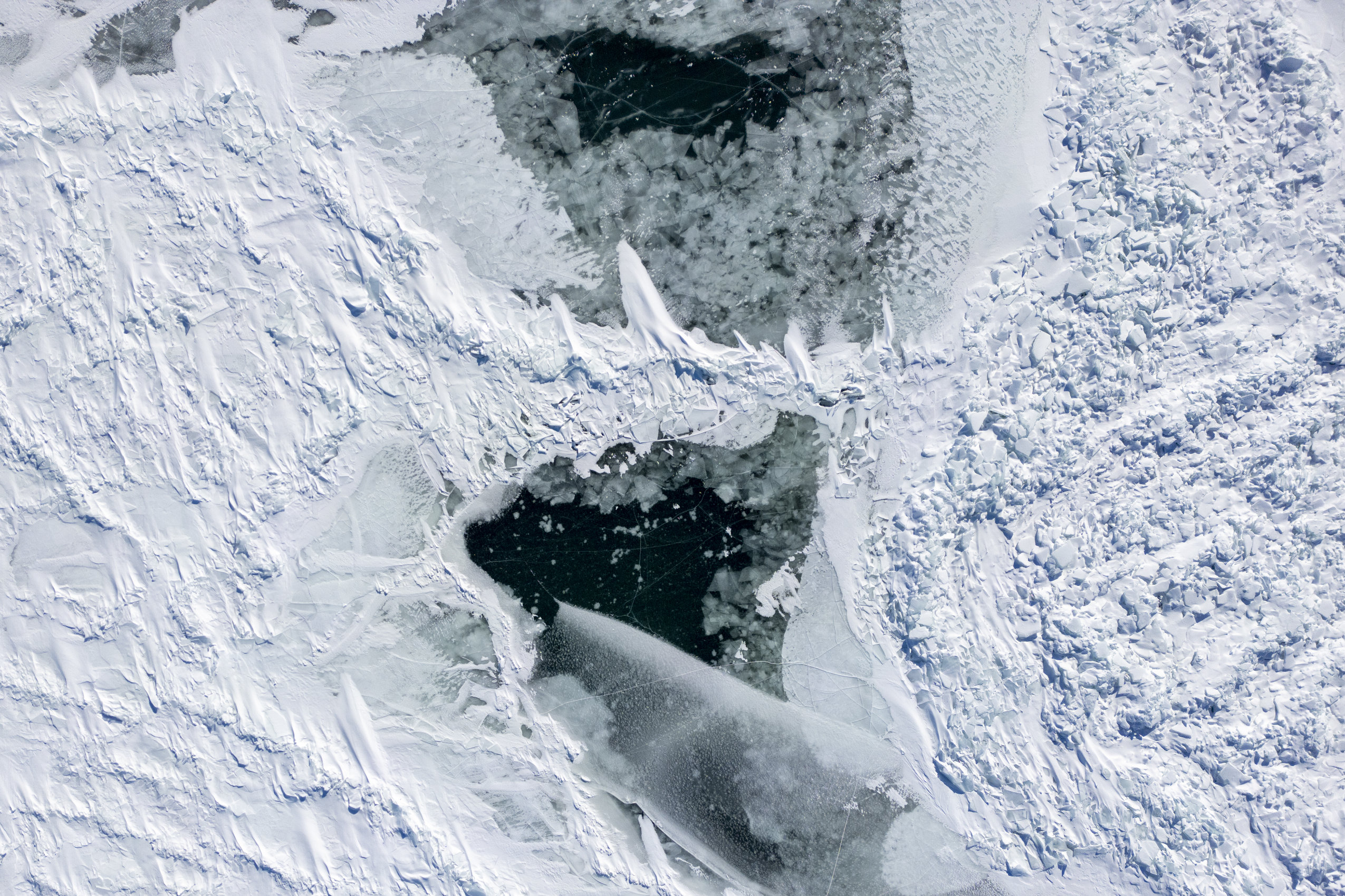
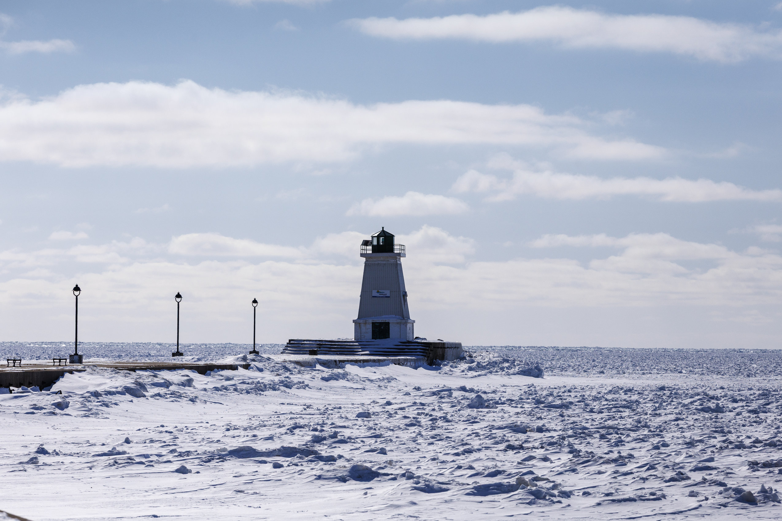
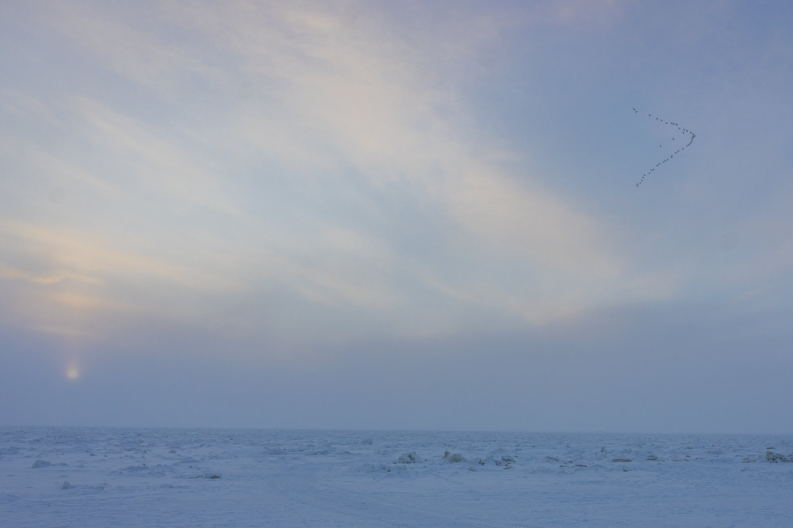
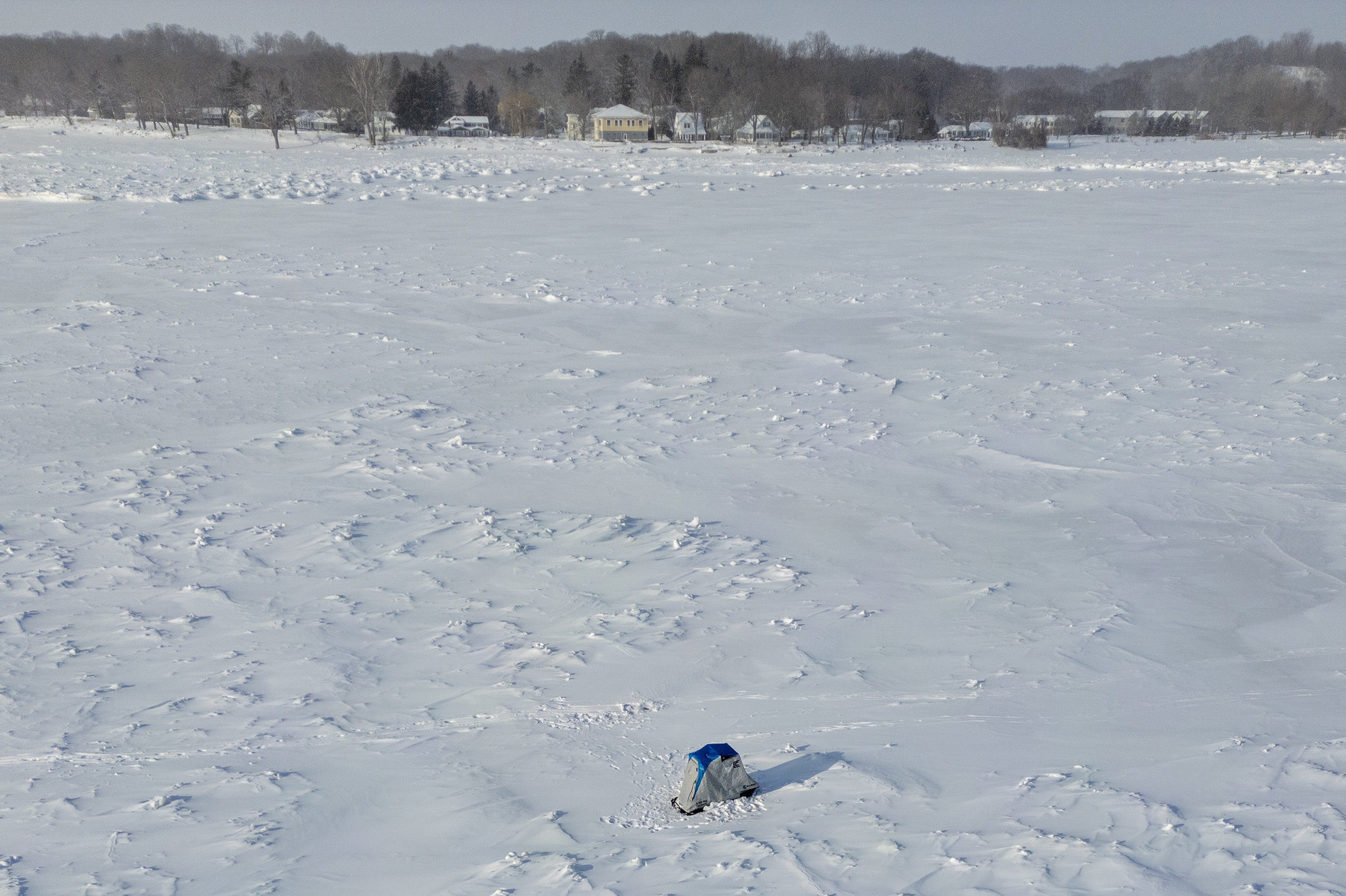
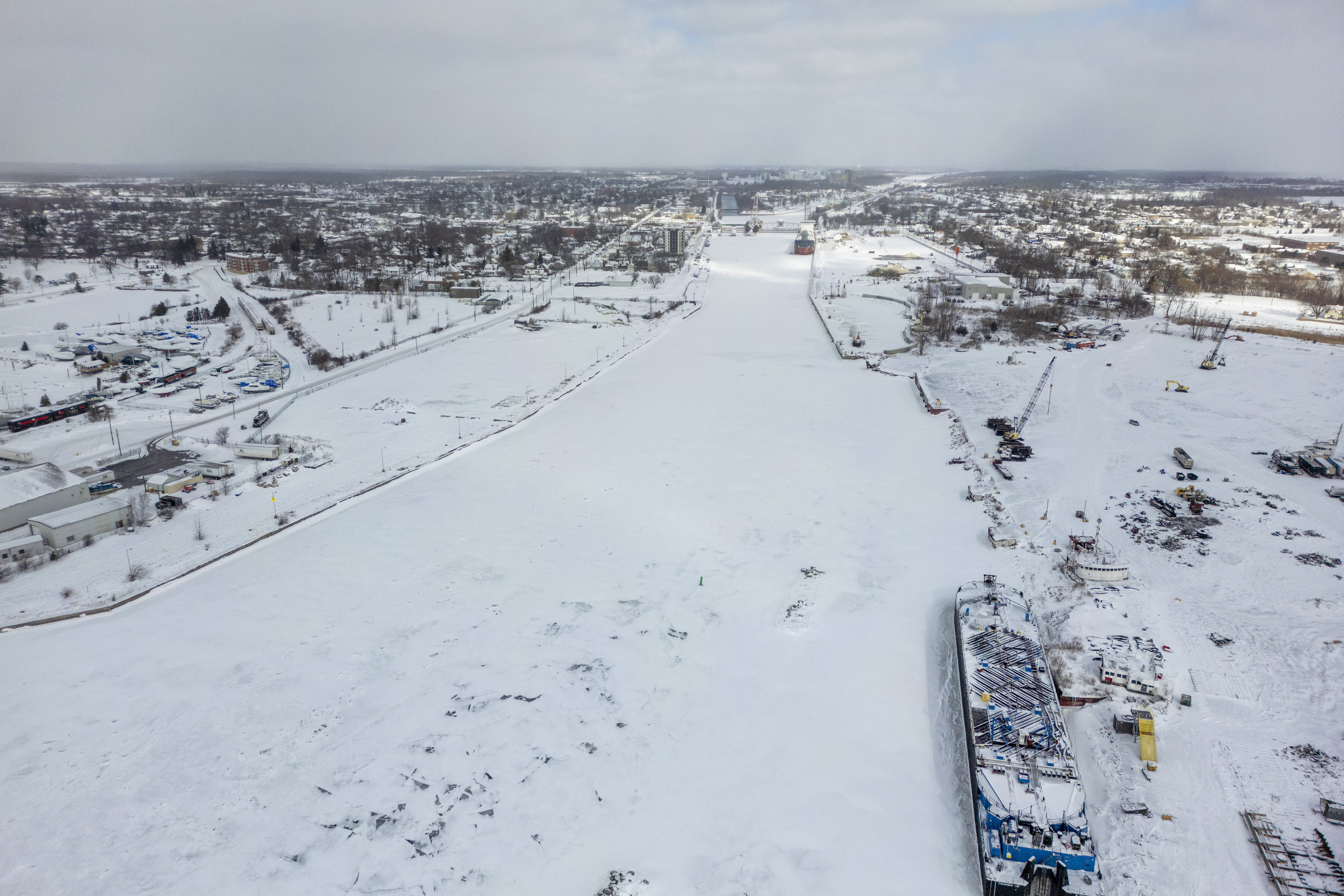
The cold snap held its grip on southern Ontario for weeks. On the shores of Lake Erie, some speculated this could be the year the ice makes it all the way across — something that hasn’t happened in three decades.
Erie, the shallowest of the Great Lakes, typically sees the most ice cover. Still, the most recent full freeze-up was in 1996, according to National Oceanic and Atmospheric Administration data.
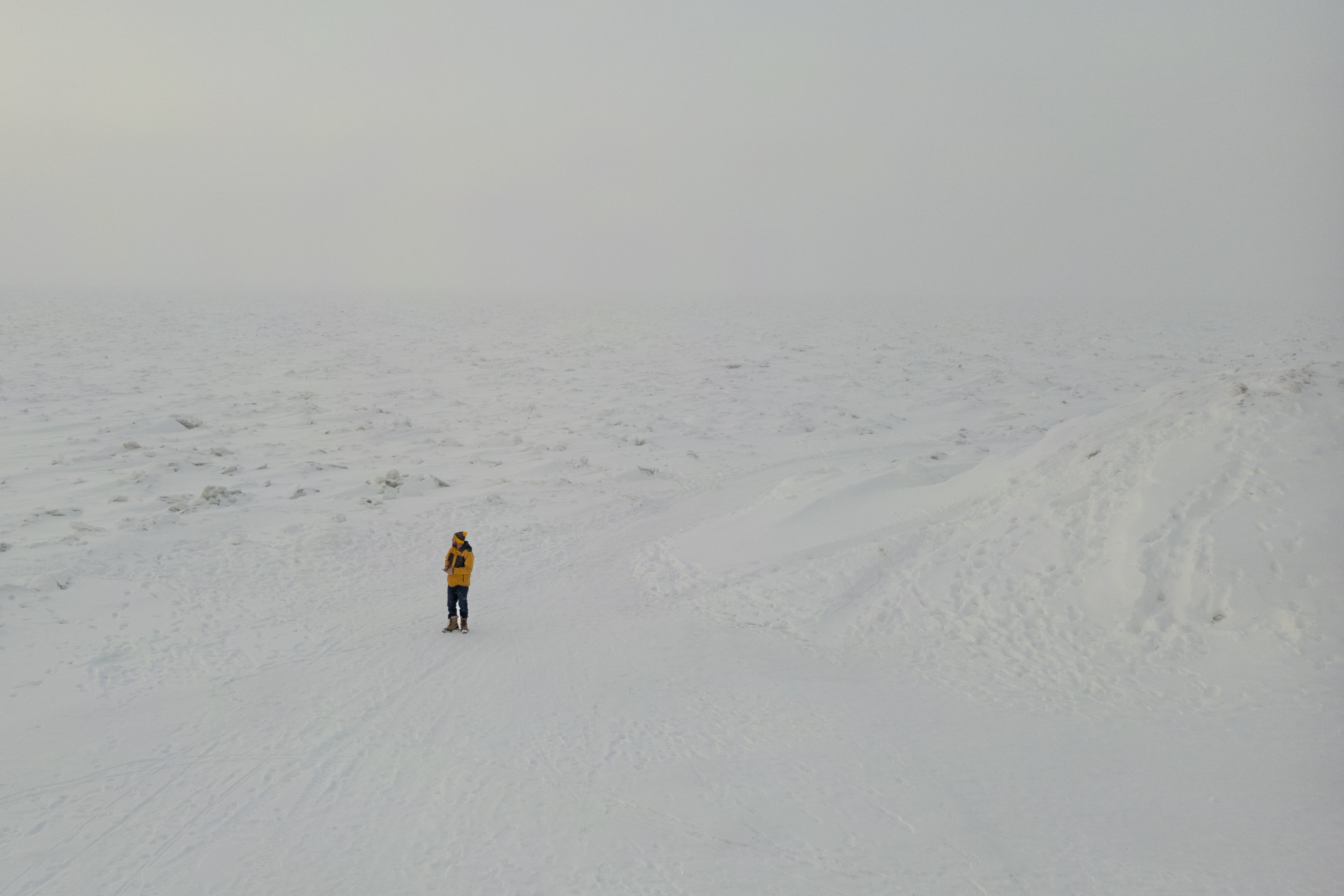
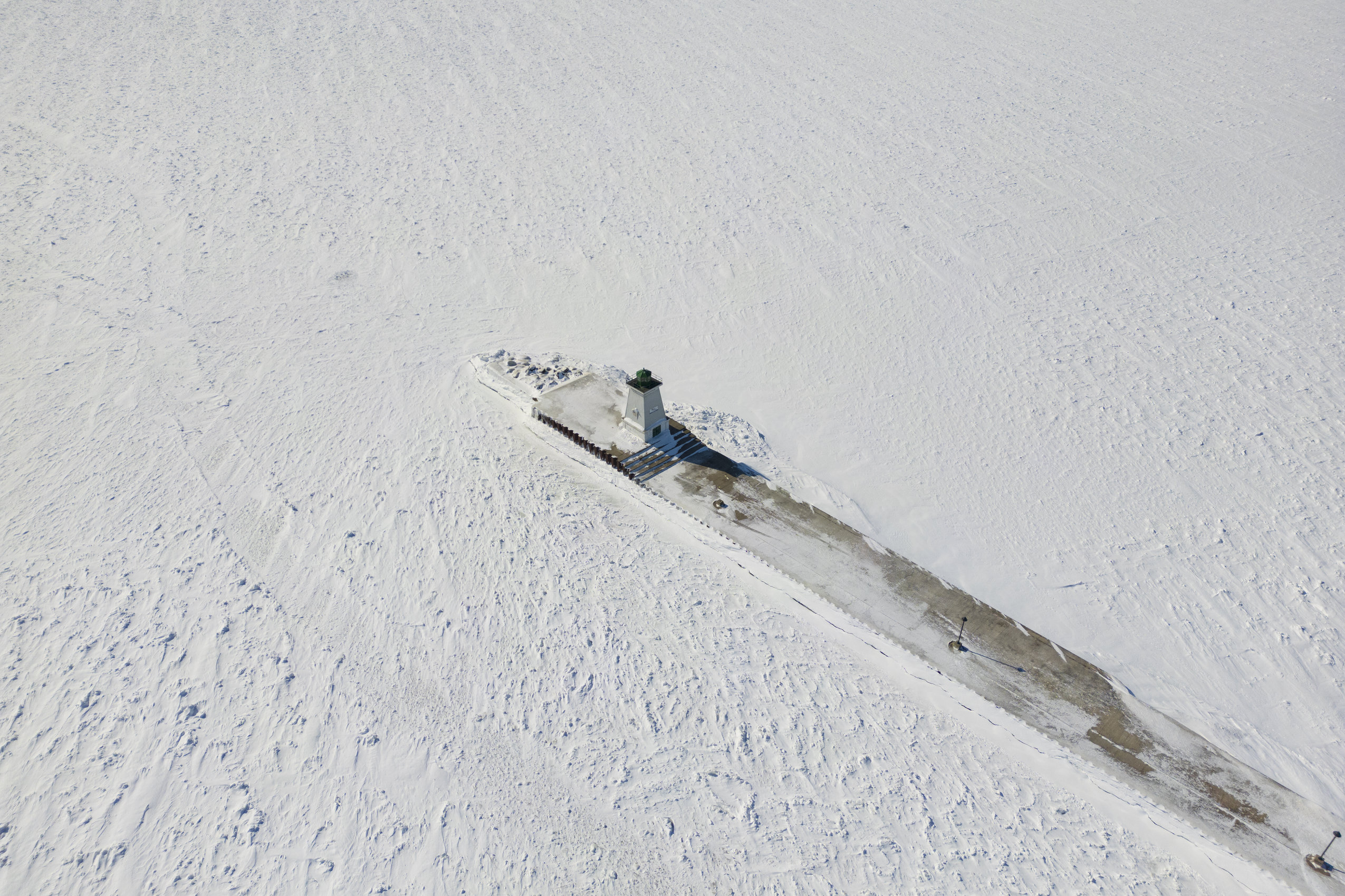
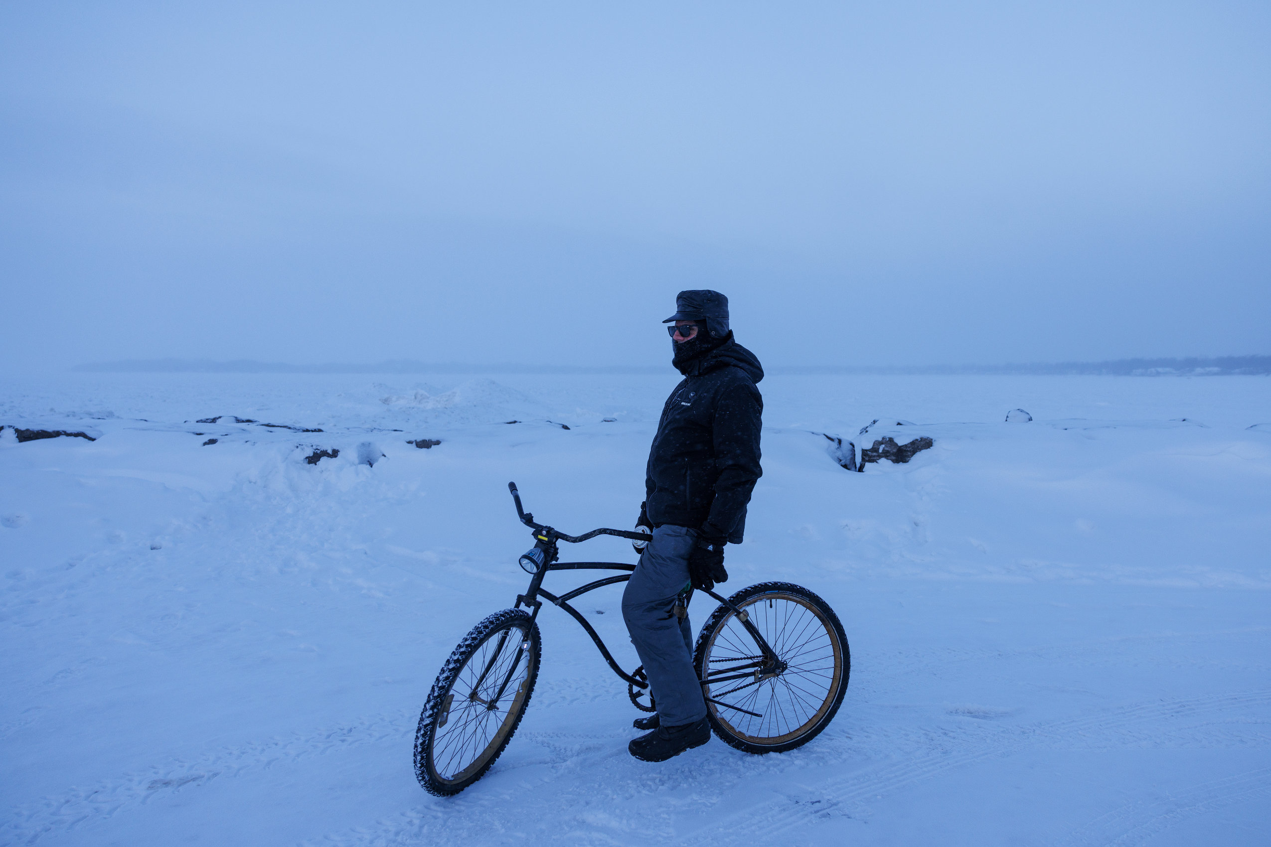
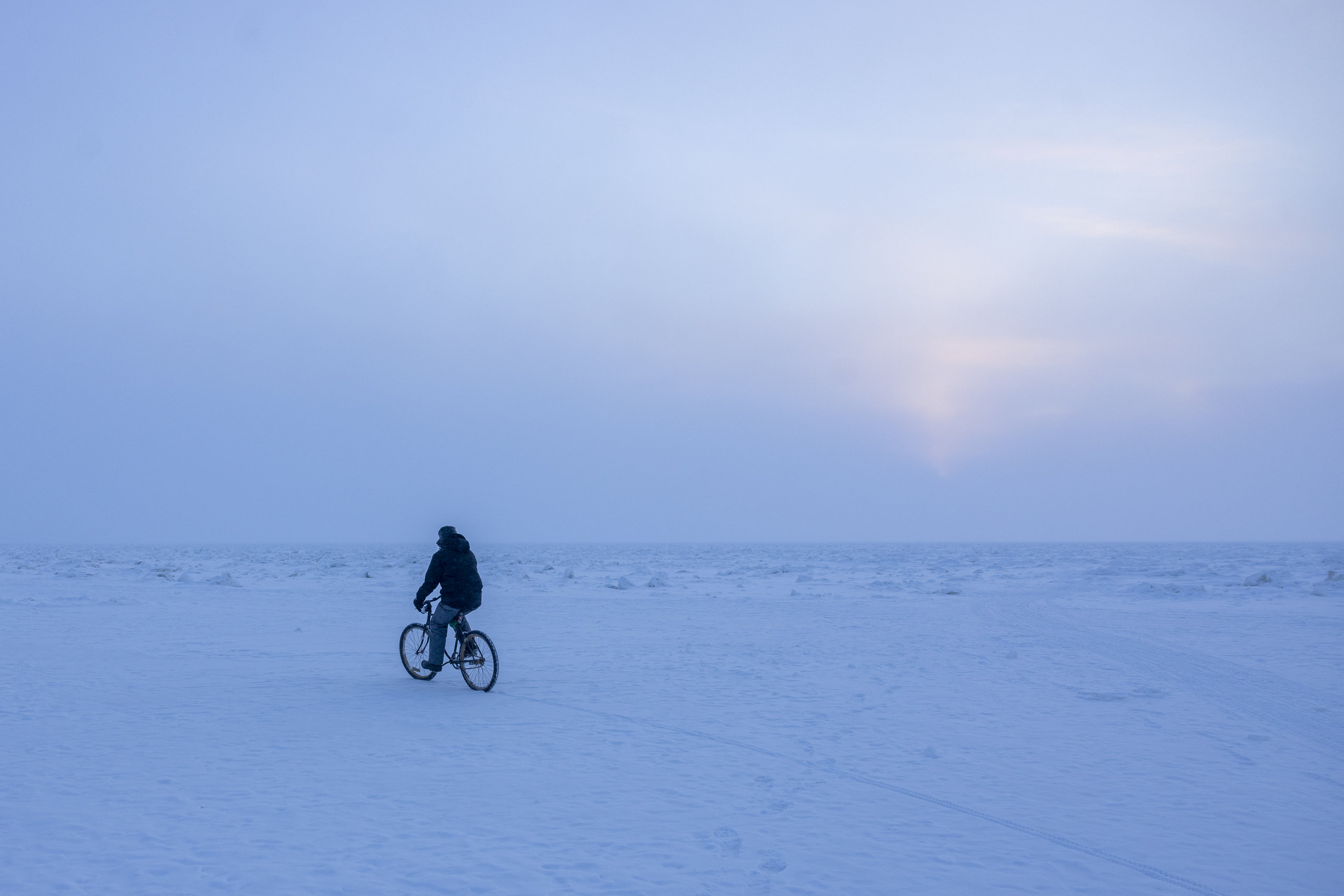
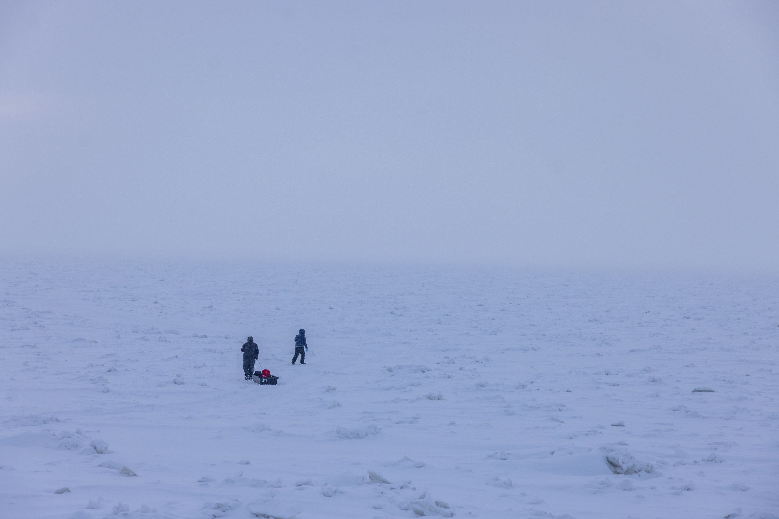
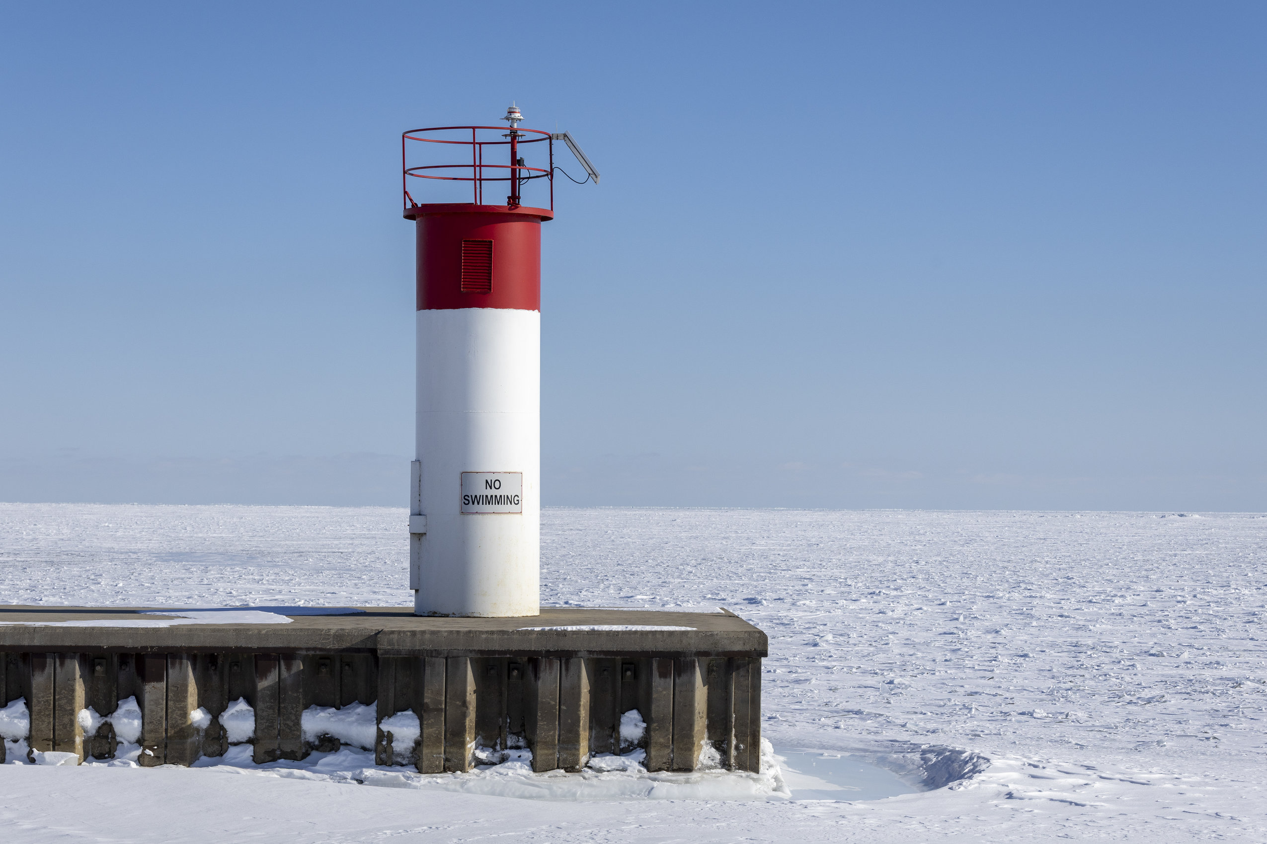
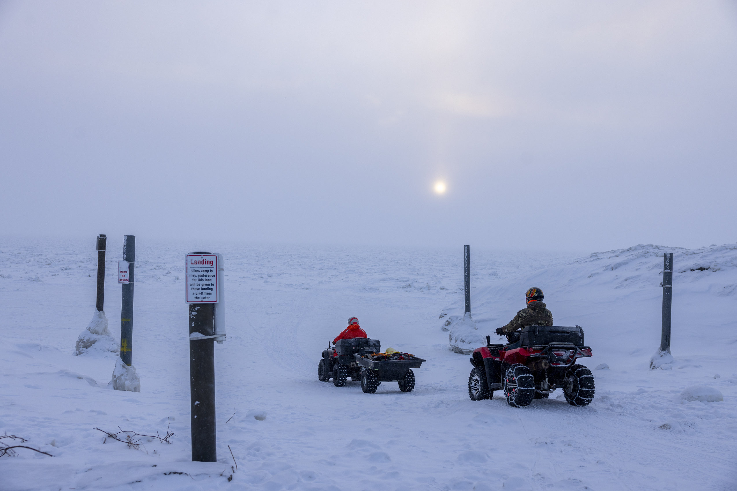
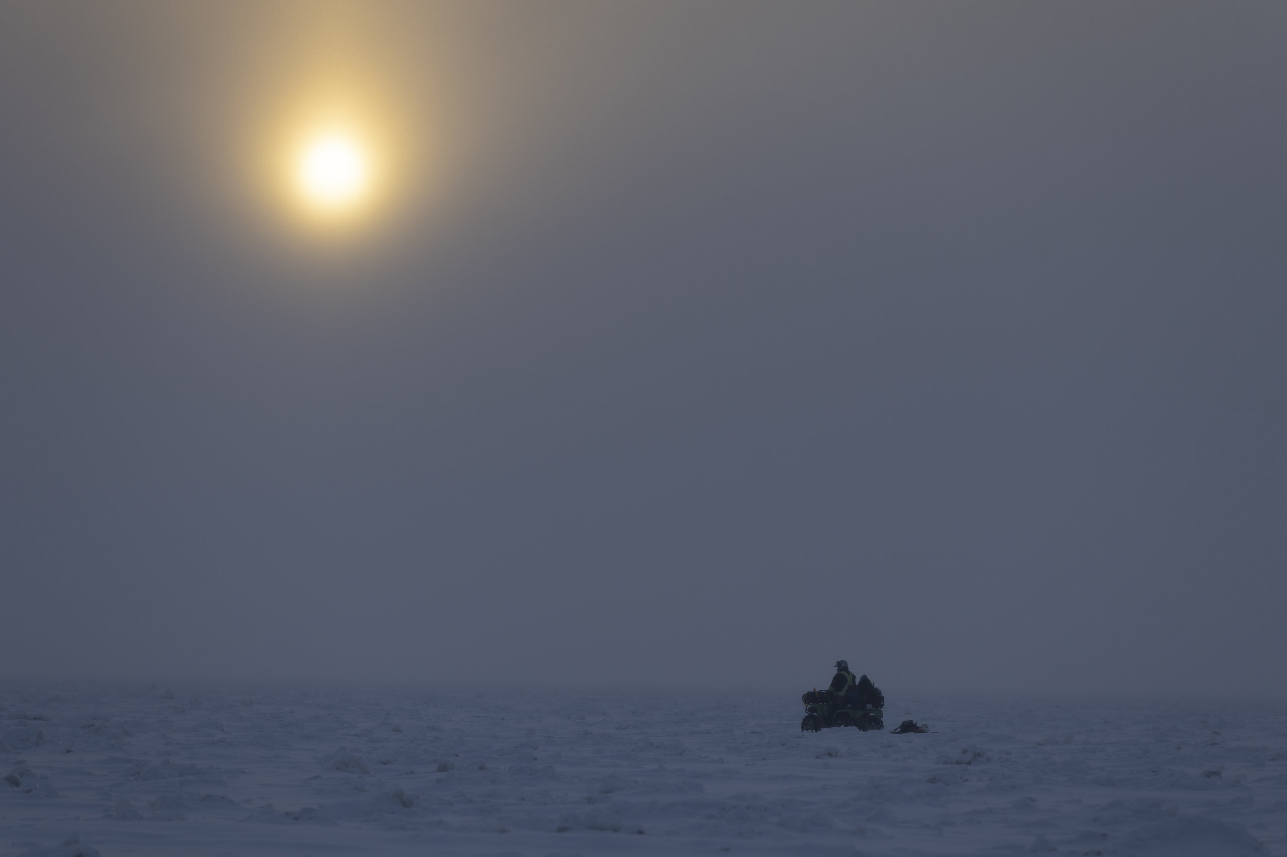
On a Sunday in early February, as ice cover crept over 95 per cent, locals and visitors braved frigid temperatures to look out across the frozen surface.
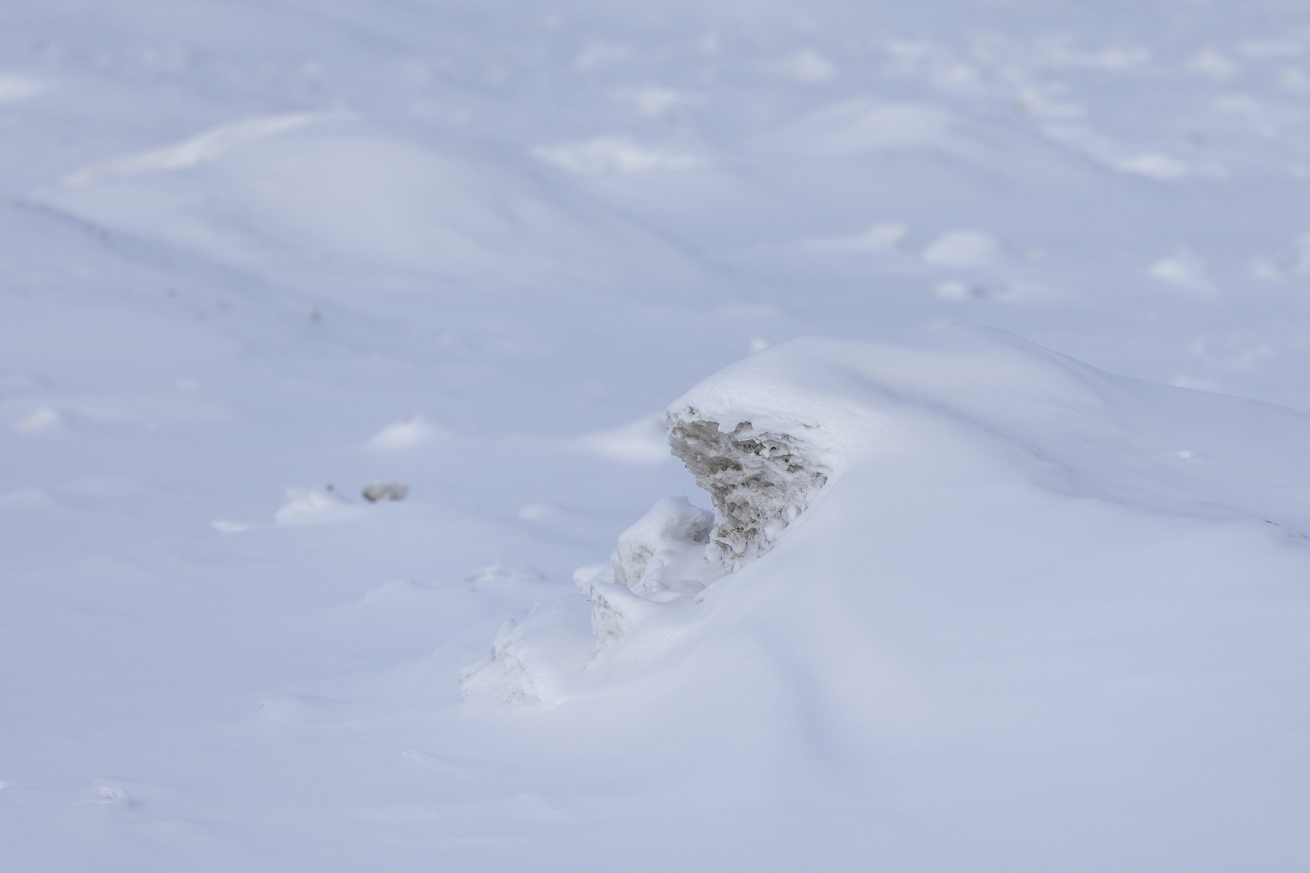
Among them was photographer Carlos Osorio, who captured the lake and the people who set out across it — on foot, studded-tire bicycle or all-terrain vehicle. Wind had sculpted blowing snow into rippling waves, as if the water, on a blustery summer day, suddenly stood still.
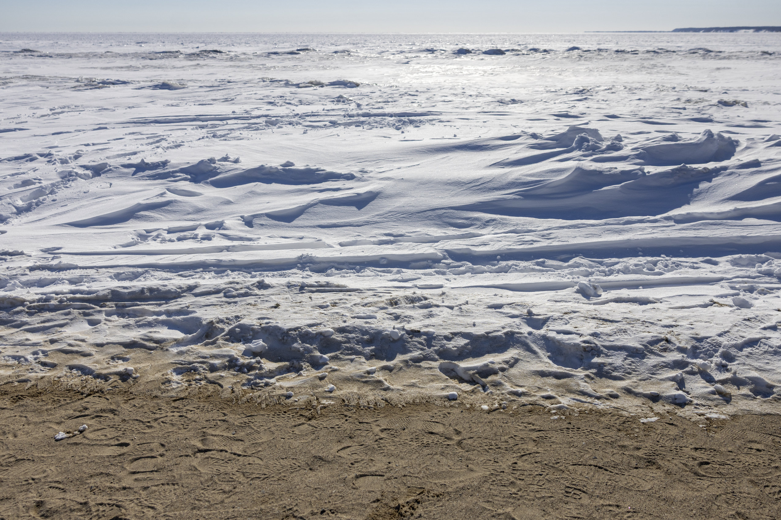
“When you think about water freezing, you think about smooth ice, and then you come here and the ice almost looks like frozen waves,” Frank said. “You can just imagine the water swelling up and down, but it’s not, it’s just frozen.”
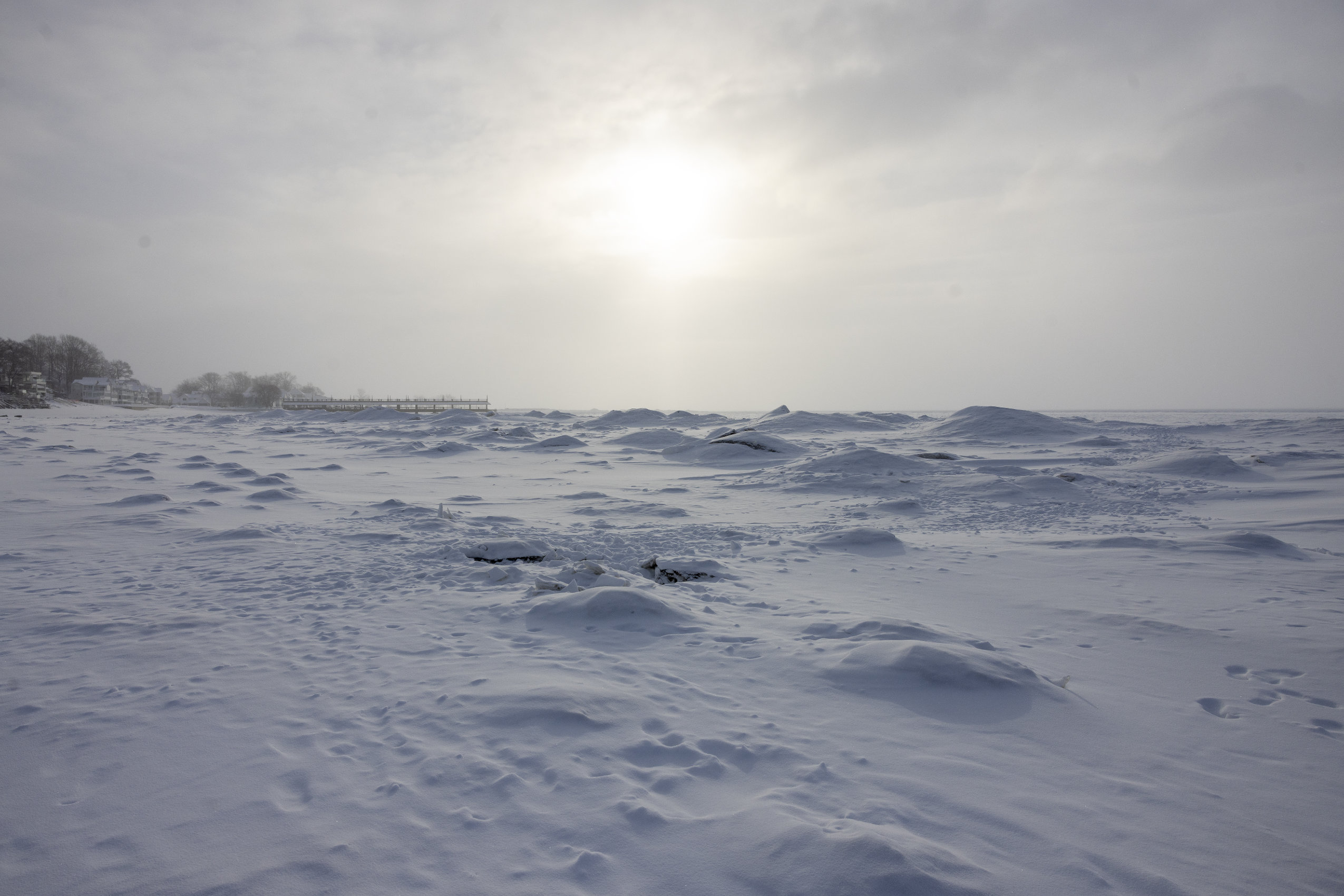
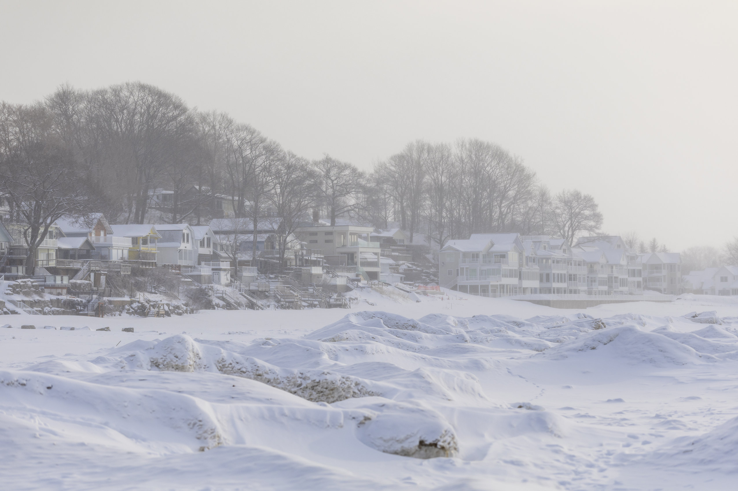
“This is exceptional,” Gerald Meyering said, marveling at the amount of ice and snow on the lake, compared to recent mild winters.
— With files from Carlos Osorio
